
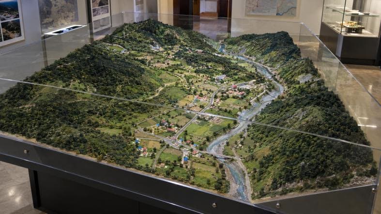
A military terrain or sand model is a three-dimensional representation of ground, usually at a scale that shows ridges, valleys, roads and positions, used to brief and plan operations and training. RD Models builds military terrain models alongside topographical and landscape models for institutional clients.
By Ar. Rohitash Daiya · Updated
What it is used for
- Briefing and rehearsal: personnel can see the ground and discuss approach, cover and routes.
- Training: instructors use the terrain to teach map-reading and tactics.
- Presentation: institutions use terrain models in museums and exhibitions.
How terrain models are made
Contour data or maps are converted into layered or milled terrain surfaces, then textured and painted. Roads, rivers, vegetation and structures are added at the chosen scale. RD Models lists military terrain among its model types, alongside topographical and landscape work.
What to provide
- Contour maps or digital elevation data for the area.
- The scale and overall dimensions required.
- The features that must be marked, and any labelling conventions.
- Where it will be used and how often it will be moved.
Frequently asked questions
- Does RD Models make military terrain models?
- Yes. Military terrain (sand) models are one of the specialised model types RD Models builds, along with topographical and landscape models.
- Can terrain models be built from digital data?
- Yes. Contour maps or elevation data can be converted into production geometry in-house.
See examples in our Large-Scale Installations portfolio, or browse our workshops across India.